東北角海域測量之大地原寸
Original Land Size Surveyed at Northeast Coast
▲鼻頭角之照
Picture of Pitou Cape
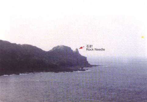
史前海域之測量方法是利用星辰和設立陸、海域標點作為定方位的依據。在台灣北部金山鼻、基隆嶼、鼻頭角、龜山島、澎湖、南方澳鼻、琉球依那島、八重島及南太平洋諸島嶼,均有如上圖指針之作。註:(北七星及南宮12星為主要定位星座)
Survey of prehistorical seas was based upon stars and land and sea points. Kinshan Nose ,Keelung Islet ,Pitou Cape ,Turtle Islet ,Pescadores ,NanfanaoNose ,Okinawa Islands ,Yae Island ,and other islands in Pacific Ocean ,all have a "rock needle" as indicated in the above photograph.